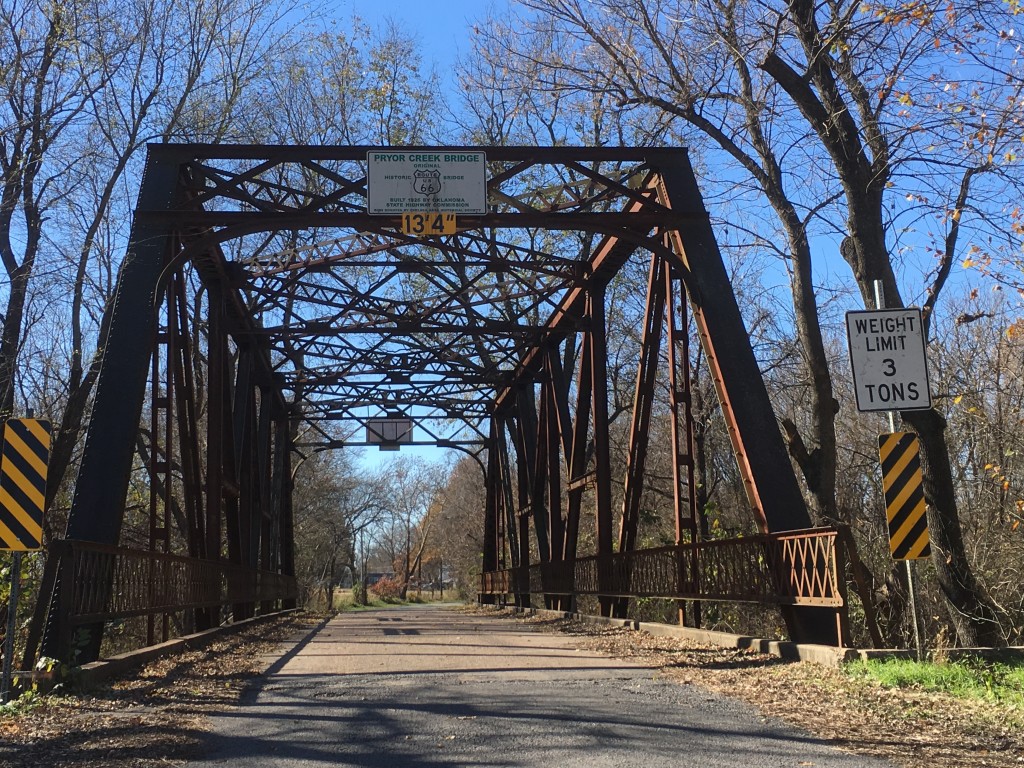
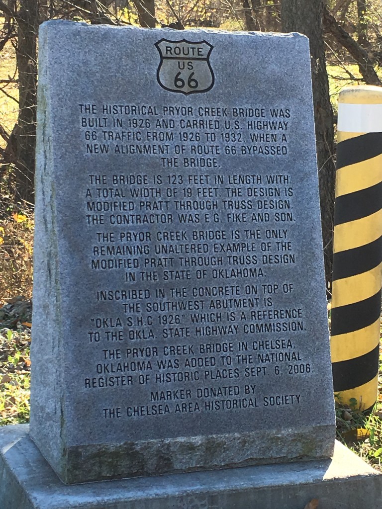
Distance: 39.81 miles. Total Leg 3: 101.27
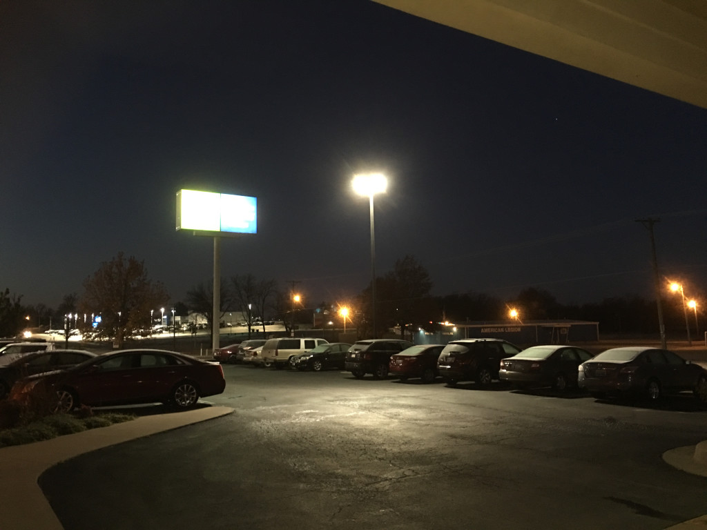
View out the door at 6 a.m. today is (of course) dark, (sadly) very cold, (what???) frost on the ground, but (at last) calm wind.
Frost? That’s like baby ice. On a bike there’s only two or three square inches (INCHES) of contact between everything above and the ground. All one’s traction to propel, brake, and steer have to be communicated across those few square inches. You, like, need every square micro-inch, especially on hills and resisting the wind.
Weather today on the Vinita to Claremore track is not biker friendly (and the forecast later in the week is again high winds but with freezing rain or even snow).
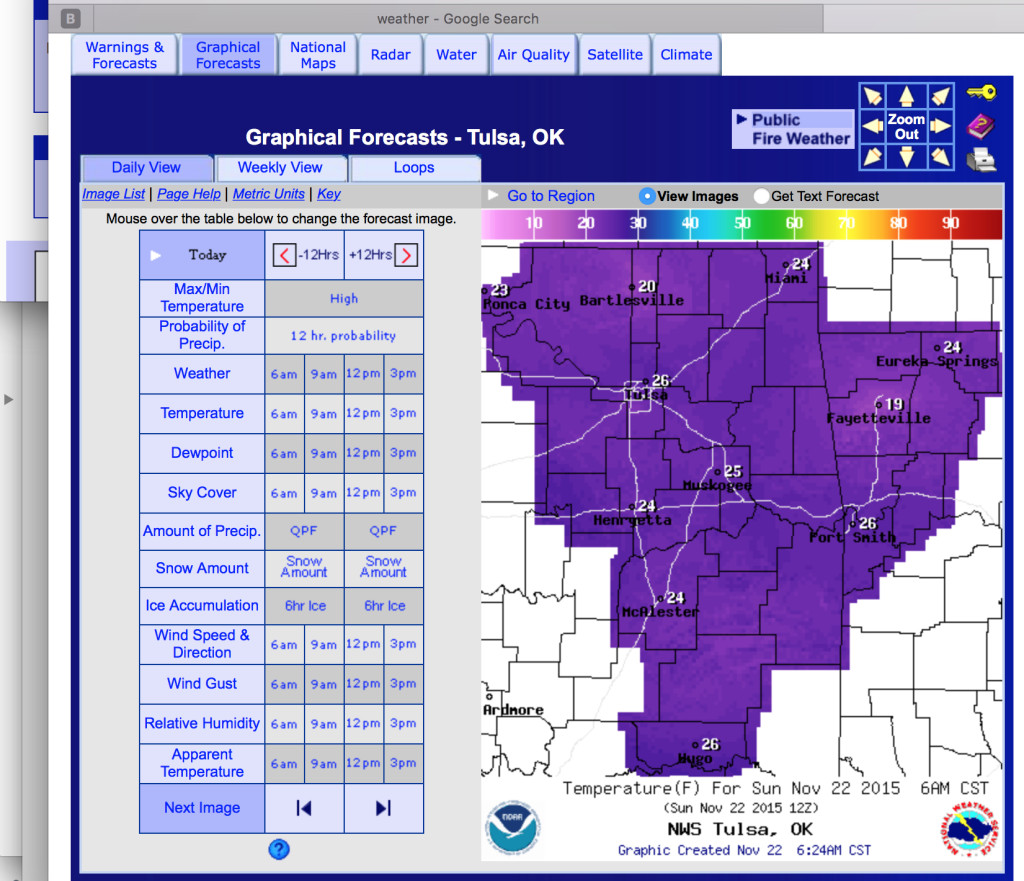
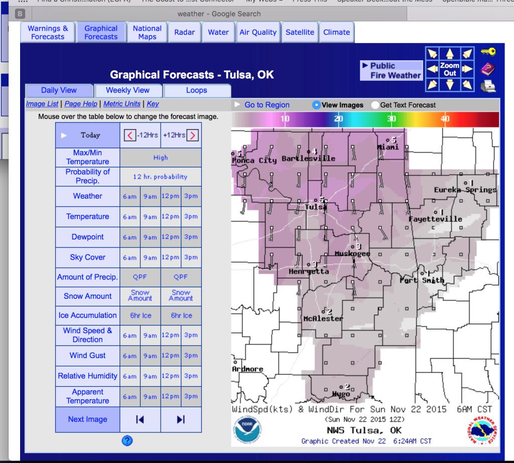
Here’s the choice now: 6 a.m.: 24 F but light winds in Vinita.
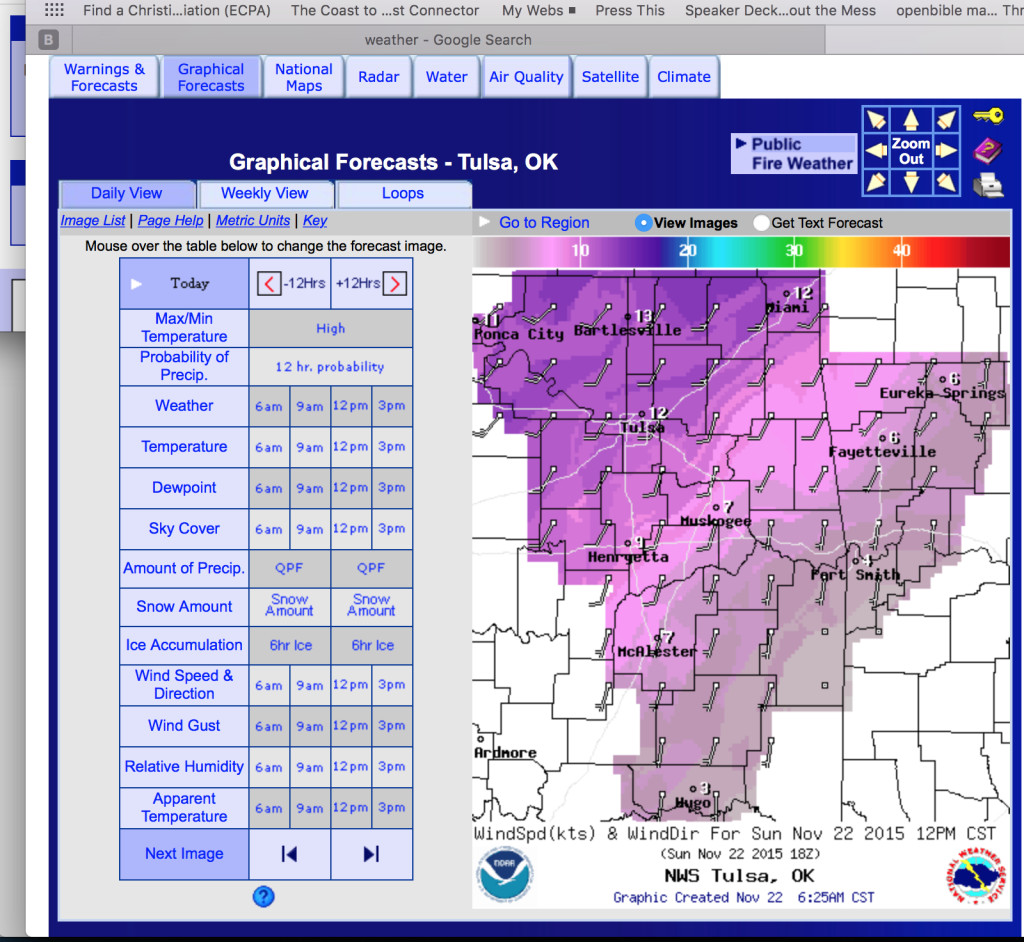
Noon: …mid 40s F and 10-15 mph, maybe even a little more, right on the nose.`
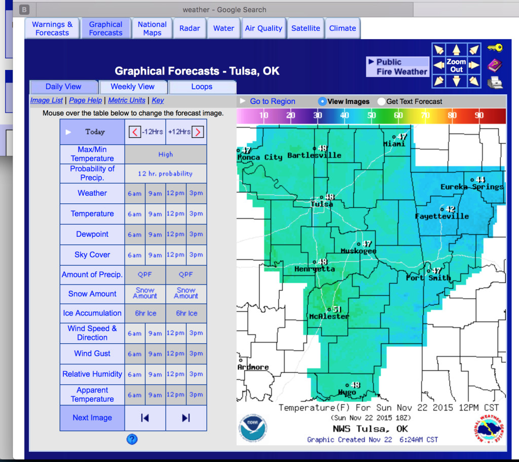
BTW, the government website from which these plots come has a lot of useful data, though not very user friendly, which probably is a universal characterization. The website is:
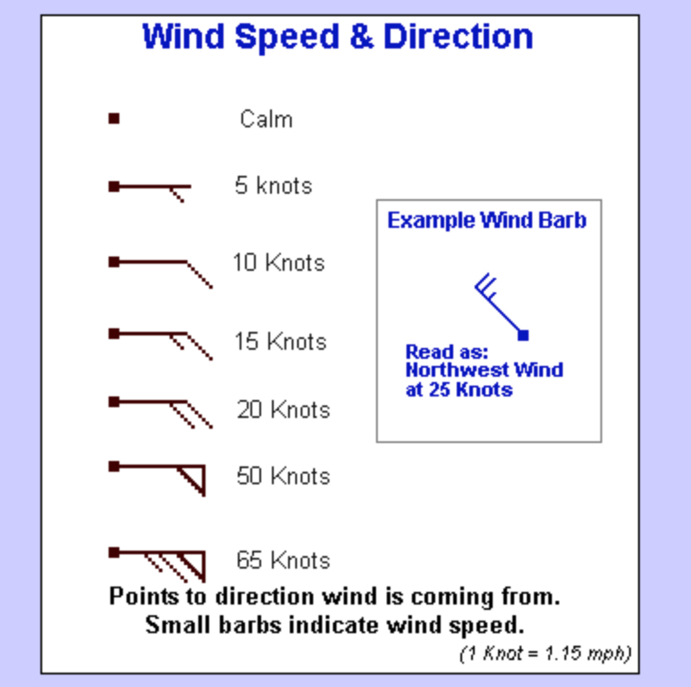
Reading the wind arrows can be done by matching colors with the band at the top of the graph or by interpreting the wind arrows, legend below:
So for biking, one likes to see plain square dots or short legs on the main arrow line, or if the wind is stronger–one long leg, a long and a short, or two long legs–then the arrow should be on one’s back. (If you see little triangles on end of the wind line, you are in big trouble, no matter which direction it’s blowing).
Also it should be noted that the wind speed is in knots, a historic mariner measurement; you convert knots to mph by multiplying knots by 1.15151515…[forever, though usually 1.15 is good enough]. So 10 knots is 11.5 mph. When you’re biking into the wind you do notice the difference between 11.5 mph (10 knots) and 10 mph (which is what you might wrongly think the weather chart is indicating when it shows a single long leg).
Not shown here, but is on the weather.gov website is that the skies will be crystal clear today. So the sun will both warm the earth (& air) and the body moderating the effect of the cold air temperature (a little).
But, Claremore awaits, where there is an Enterprise car rental which I will use to get back to my car, Moses, resting in Joplin, which I will then use to get back to Florida, during which time I can rue the idea of trying this November ride in MO / KS / OK. UPDATE: the day’s trip was not so hard, so I decided to press on for a Day 3, to Tulsa, where there are many Enterprise car & pickup truck rental options.
Leaving Vinita:
All horses, and even cows, stop to watch me, apparently a strange sight.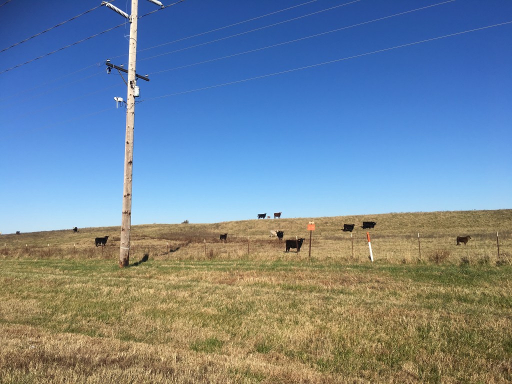
Going southwest on OK 69 (which is the closest one can be to retracing old Route 66), there is no berm on the 4 lane, 65 mph road. None.
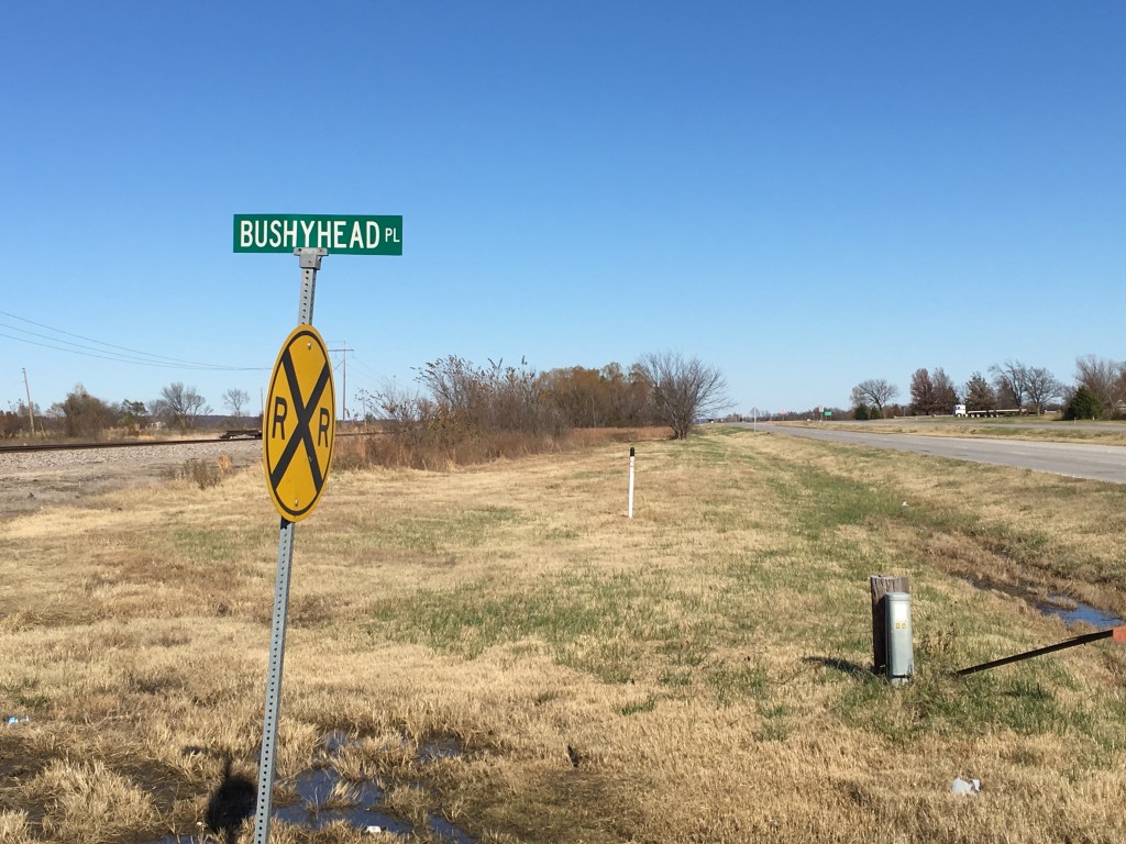
Here at Bushyhead Place–I suppose not to be confused with Bushyhead Road–I was stopped by an Oklahoma Highway Patrol officer. (I was pretty sure I wasn’t speeding). The very nice officer said they had been receiving calls from drivers who had passed me and were worried about me being splattered to oblivion, given that there was no berm. The officer pointed out to me that although it was my right to keep pedaling on, he strongly urged me to consider going to the other side of the highway, where there was a wide berm (now they tell me). Even though I would be pedaling against the traffic, I’d be off the road, And that, starting at good old Bushyhead Place, is exactly what I did all the way into Claremore, and actually about 10 miles beyond Claremore on Day 3 before there was also a berm on the southwest headed lanes.
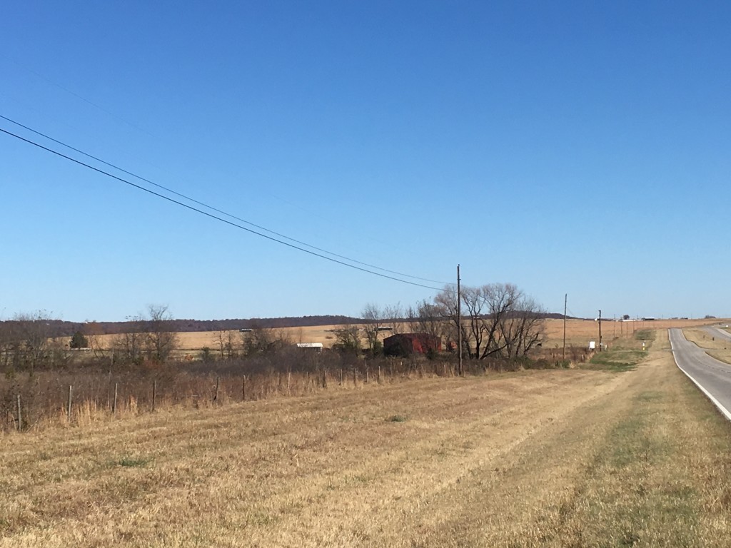
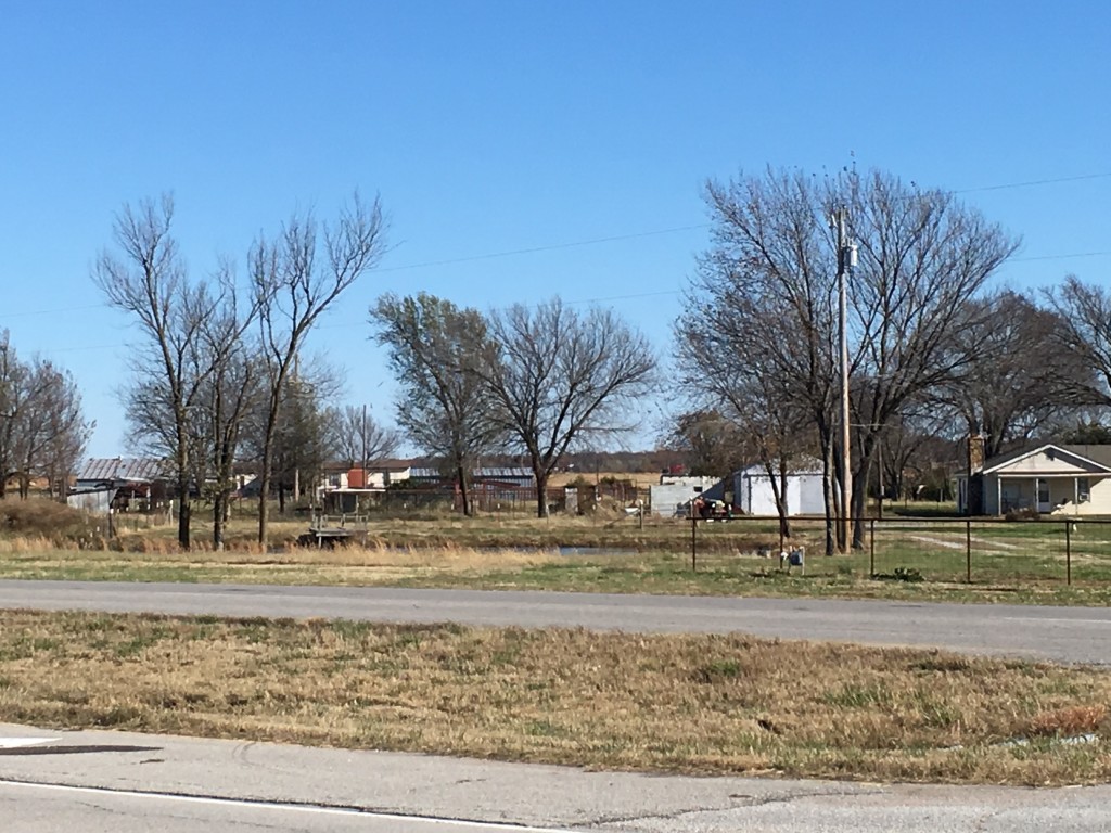
One can just make out the berm on the other side of the 4 lane road.
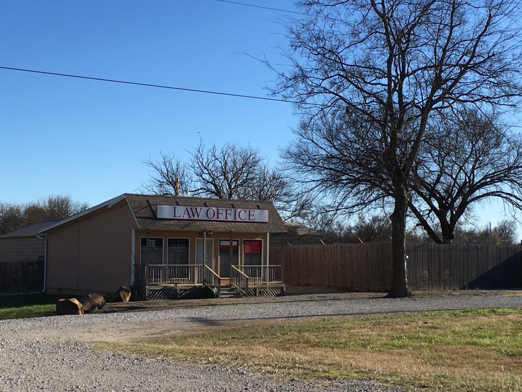
A pretty low overhead (I would think) law office just NW of metropolitan Claremore OK.
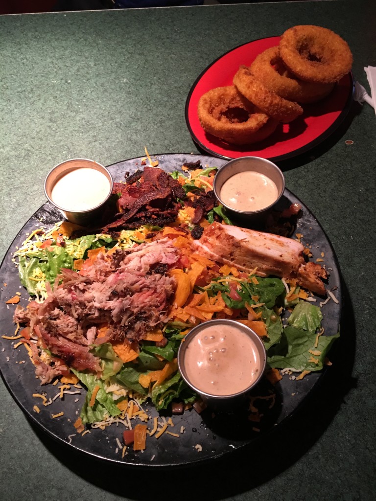
Dinner at the Rib Crib in Claremore, but don’t get the onion rings.
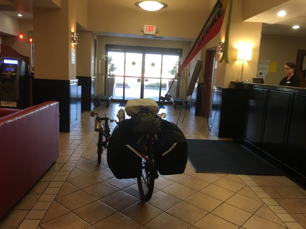
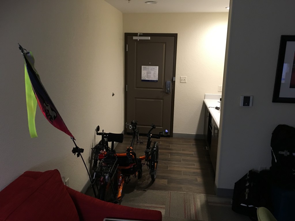
The Orange Flash had its own parking area in the Hampton Suites suite.
Day 3, here:
